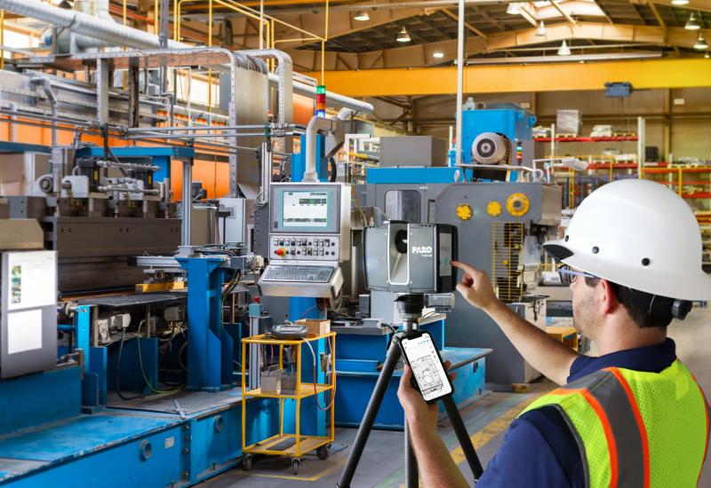
Avoid problems afterwards and start your project with the right 3D basis. With our 3D laser scanners, we precisely map every building, building component, installation, environment and terrain. Of course, we can convert these measurement data to most used CAD and/or BIM formats. ArchiCAD, AUTOCAD, REVIT, SKETCHUP, DWG and IFC. We determine RD coordinates, NAP heights, and provide NEN 2580 measurements and reports.