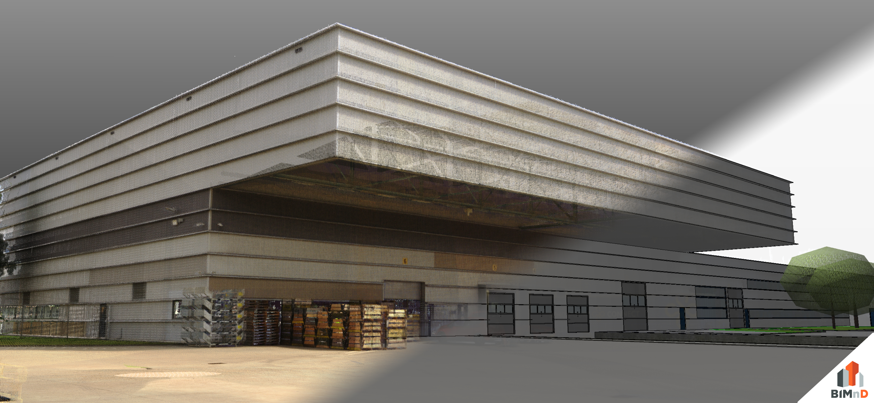
Van pointcloud naar BIM in ArchiCAD van ca 21.000 M2 terrein.

From point cloud to BIM in ArchiCAD of an area of approx. 21,000 M2. Digital twin<
NS Component Company inquiry:
To realise an expansion of the component company, we have been asked to digitise the site of approx. 21,000.
With Faro 3D laser scanners, BIMnD measured the entire site and the required buildings and carried out additional control measurements with a total station.
We measured the following elements, among others:
Construction site, trees, ditch, pavement edges, fences and heights of the site, and the façade of the existing components company adjacent to the construction site.
BIMnD then converted the measurement data (point cloud) and points of the total station to a BIM Model in Archicad.
With this information, the client has insight into:
- The existing situation;
- heights of land; (determine for the tender documents so that contractors can properly determine how much soil they need to drain / replenish)
- insight location trees on the site.
Alinea